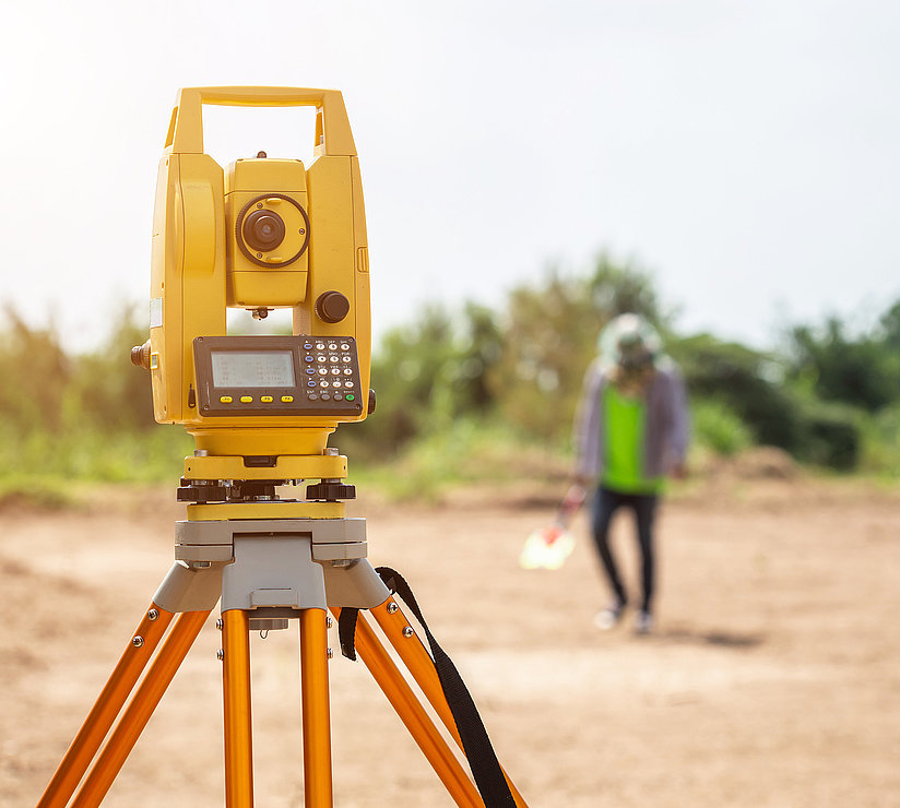

Network Documentation and Surveying of Water Networks

A Rich History

A water distribution network is only as good as the knowledge of where it is located. When a pipe bursts at three in the morning, the accuracy of the location data in the GIS determines whether the on-call crew finds the right valve in twenty minutes or is still searching for it two hours later.

netzkontor nord surveys water mains, maintains network documentation in accordance with DVGW GW 120, and organizes legacy data into a format that’s actually usable. We work for water utilities, municipal utilities, special-purpose associations, and local governments throughout Germany.

Calibration and Surveying in the Water Distribution System

Surveying in an open trench is the only opportunity to collect precise data. Once the pipe is backfilled, any subsequent corrections become costly:

  • Surveying of pipes, fittings, and systems in accordance with DVGW GW 120, including location and elevation
  • Simple surveying work in accordance with DVGW GW 128 performed by appropriately trained personnel
  • GNSS surveying, tachymetry, and digital site sketches directly on the construction site
  • Locating and re-surveying existing concealed pipelines
  • Surveying of gate valves, fire hydrants, service connections, manholes, tanks, and metering devices
  • Quantity surveying for billing and as-built documentation in a single step

Network Documentation in GIS According to DVGW GW 120

DVGW GW 120 specifies the minimum requirements for network documentation in utility companies and has replaced the old provisions of DIN 2425 regarding digital management in GIS. We implement these requirements in practice:

  • Initial creation and ongoing maintenance of your digital network documentation
  • Quality assurance in accordance with DVGW GW 130, including validation rules and plausibility checks
  • Migration of analog pipeline network plans and historical CAD data into the GIS
  • Attribute assignment including material, nominal diameter, year of construction, pressure class, and condition
  • Handling of different positional accuracy classes and conflicting data sets
  • Provision of data for pipeline information, emergency response, network calculations, and regulatory reporting

What Good Network Data Enables

Accurate network documentation is not an end in itself. It is the prerequisite for almost everything that follows:

  • Hydraulic calculations and network modeling require reliable geometry and attributes
  • Network and damage statistics in accordance with DVGW W 402 can only be analyzed using well-maintained data
  • Rehabilitation planning in accordance with DVGW W 403 relies on the year of construction, materials, and damage history
  • The risk analysis required by the Drinking Water Ordinance requires a documented network condition
  • Compliance requirements under NIS-2 and the KRITIS umbrella law also rely on documented asset inventories

Our Process

  1. Assessment: Review existing data; clarify the data model and scope
  2. Surveying & Data Collection: In-trench surveying, follow-up surveying, digital survey sketch
  3. Quality Assurance: Verification against the specifications in GW 120 and GW 130
  4. Integration: Import into the GIS, integration with operations management and information systems
  5. Ongoing Maintenance: Regular updates, periodic data exports, and follow-up surveys as needed

Frequently Asked Questions About Water System Documentation

What exactly does DVGW GW 120 cover?

This worksheet describes the minimum requirements and standards for network documentation in utility companies. It applies to the surveying of pipelines, components, and facilities used in gas and water distribution; to the initial creation and ongoing maintenance of digital network documentation in a GIS; and to the provision of this data.

How precisely does a water pipe need to be measured?

The required accuracy depends on how the data will be used and on the specifications in GW 120. What matters most is not so much a single numerical value as a documented and consistent accuracy class. A data set whose accuracy is clearly defined is significantly more useful in practice than a number without context.

Can you digitize our old paper plans?

Yes. We digitize analog pipeline network maps and import historical CAD data into the GIS. We identify and flag discrepancies between different generations of maps rather than silently smoothing them over. Where necessary, we resolve disputed sections through location surveys or field resurveys.

Who is authorized to perform meter readings on the utility network?

DVGW GW 128 establishes the framework and qualification requirements for simple surveying work on utility networks. More complex tasks should be handled by appropriately qualified surveying professionals. GW 120 distinguishes between simple and complex surveying work.

Is Your Network Data Older Than Your GIS?

Then it’s worth taking a look from the outside. We’ll review your data, identify any gaps, and suggest a step-by-step approach to help you develop robust network documentation.

Do you have any questions? We’d be happy to answer any inquiries you may have regarding water network documentation, surveying, and GIS.