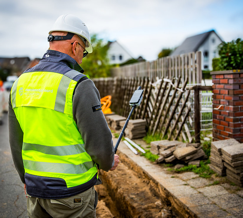
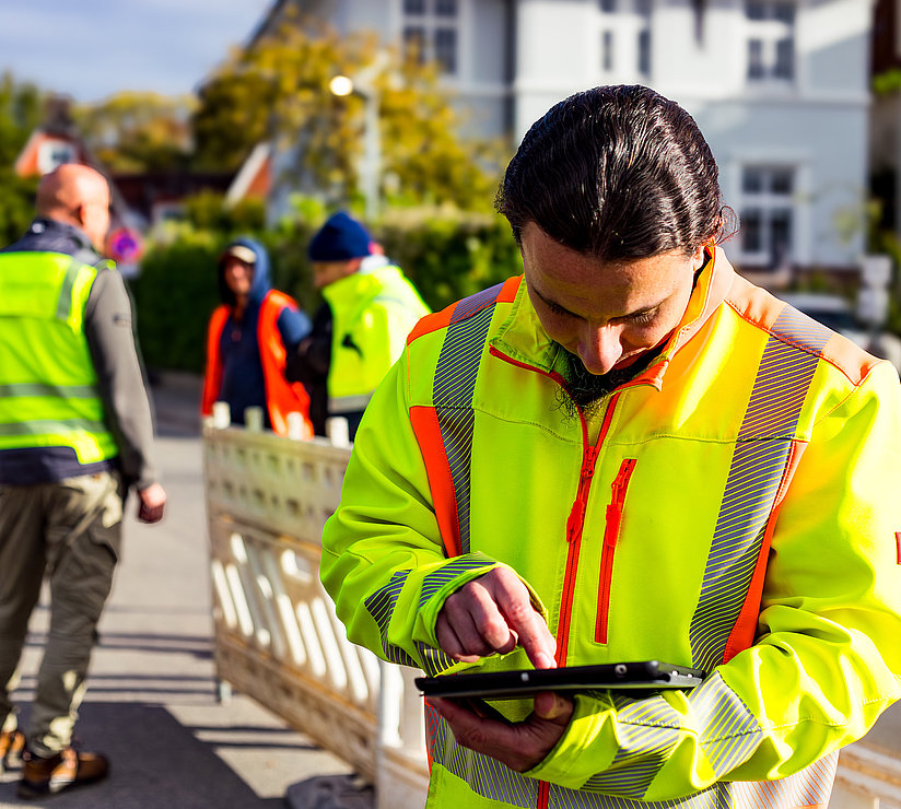
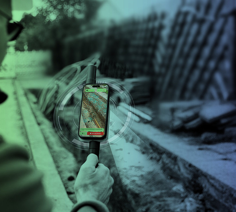
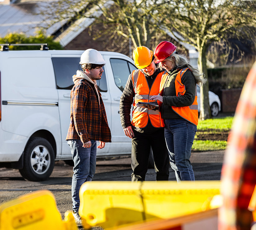
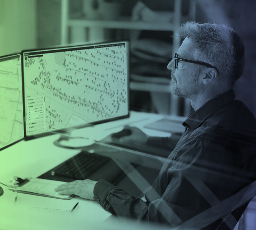
Keep track of your entire network expansion project—live, digitally, and automatically. With inseyet, you get a powerful 360° monitoring system for digital 3D surveying via smartphone, as well as for recording and documenting FTTH construction status and progress. All bundled on a single central platform.
What is Inseyet?
inseyet is a digital platform for surveying, managing, and documenting infrastructure projects, such as FTTH deployment or power grid construction. It consists of modular components that can be combined and is a joint product of netzkontor nord and Fiber Experts.
How accurate is the 3D calibration?
With an RTK rover and NTRIP corrections, accuracies of less than five centimeters are realistic. The actual precision depends on the RTK status, satellite coverage, and environmental conditions.
What hardware do I need?
An iPhone Pro with a LiDAR sensor (starting with the iPhone 14 Pro) for 3D scanning and the viDoc Light as an RTK rover for centimeter-accurate georeferencing.
Can inseyet be integrated with our existing software?
Yes. inseyet provides APIs that can be used to transmit data to customers, external systems, or specialized software. Reports can also be further processed in BI tools.
For which types of networks is inseyet suitable?
inseyet can be used for fiber-optic, electricity, and district heating network projects.
