Network Documentation
& Surveying

Prevention is better than cure!

Comprehensive network documentation and surveying of fiber-optic networks are essential. Even during the construction of your own fiber-optic network, it is of the utmost importance to be able to access the current network inventory and provide information at any time. It is not only in the event of an emergency that network documentation and information must be accessible within the shortest possible time. Other stakeholders, particularly in subsidized fiber-optic projects, also have requirements for network operators.

Therefore, our network documentation covers the following areas:  

  • Review and incorporation of construction-related corrections
  • Finalization of the plan documents and incorporation into the documentation
  • Submission of regular reports to requesting authorities (e.g., BNetzA)
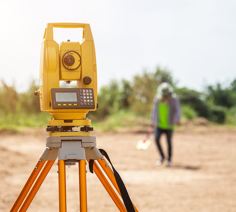
  • Surveying
  • Photographic documentation
  • Support with funding applications
  • Export of network data in all versions of the GIS ancillary provisions

By operating our own multi-client-capable GIS system, we offer our customers the ability to maintain their network documentation securely, in a future-proof manner, and accessible at all times.

From Construction Documentation to As-Built Documentation

  • Redline Corrections & Finalization
    Once construction is complete, we make redline corrections, incorporate them into your drawings, and finalize the network data.
  • Comprehensive Surveying & Visual Documentation
    We use GPS and laser scanning technologies (mobile mapping) to record the location, depth, and condition of the infrastructure—for example, using camera-equipped vehicles or drones.
  • Regular Reports & Interface Maintenance
    We ensure timely GIS exports, data provision in accordance with regulatory requirements (e.g., BNetzA), and support grant reporting.
  • Multi-client GIS System
    Our platform ensures you have access to up-to-date network documentation at all times, available in all relevant GIS formats.

Modern Methods for Precise Data

  • Mobile Mapping & 3D Scans
    : Camera and laser scans automatically capture network routes. These provide georeferenced models with details on pipe spouts, couplings, or manholes—efficiently and with high precision.
  • GIS Data Management
    Our experts maintain inventory data in accordance with GIS regulations, clean up legacy data, and ensure consistent data quality and interface compatibility

Your Benefits at a Glance

  • Transparent network data—quick access to all key information during maintenance or upgrades
  • Future-proof documentation—your data is always up-to-date, complete, and scalable
  • Regulatory compliance—Adherence to regulations and funding requirements
  • Cost and time efficiency—Automated processes reduce effort and increase accuracy
  • Foundation for quality assurance—data is optimally usable for controlling, operations, and strategy

Here’s how we proceed

  • Redline Correction & Surveying—Final documentation immediately following construction
  • 3D Scanning & Imaging - Mobile mapping for precise data capture
  • Data Processing & GIS Export – Structured transfer into your system
  • Ongoing Maintenance & Reporting – Regular updates and submission to funding agencies

Your Partner for Digital Network Management

With our comprehensive network documentation and precise surveying, you’ll establish the technical and legal foundation for successful network operations. Rely on our many years of experience, modern technologies, and a multi-client-capable GIS—for maximum security, transparency, and control.

Do you have any questions? We’d be happy to answer all your questions about fiber-optic network expansion.