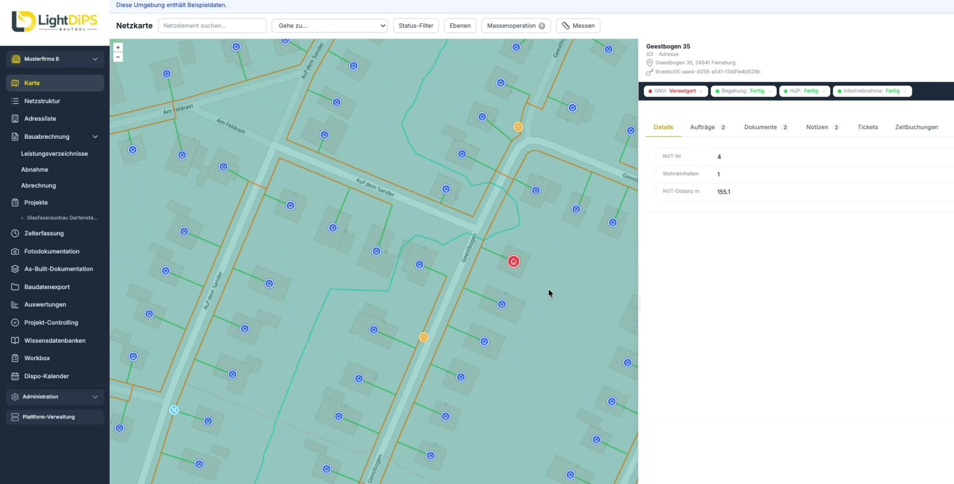
All relevant network elements are displayed on an interactive map with georeferencing. Pipeline sections, valves, and service connections can be filtered by type, status, and condition and viewed using official maps.
Existing geodata can be imported into LightDiPS via GeoJSON, Shapefile, CSV, or WFS. This allows existing datasets to be used as a foundation for further project management.
Assignments are linked to the respective network elements and forwarded to the responsible employees via the Workbox. Documentation is completed directly on-site. Required fields and defined photo documentation help ensure that relevant information is recorded completely and in a structured manner.
This ensures long-term traceability of which infrastructure was installed at which location and what work was performed. This serves as an important foundation for future operation, maintenance, and additional construction projects.
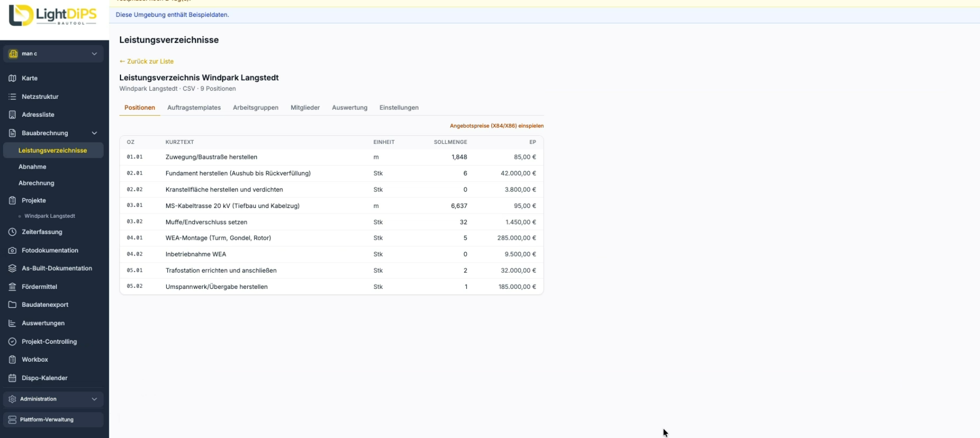
Bill of quantities can be imported via GAEB, and completed quantities can be recorded directly on the respective order. For further billing, exports are available in GAEB X31 or Excel formats. For more information, please visit our page on construction billing.
Water mains remain in service for many years and decades. This makes it all the more important to have complete and traceable documentation of the installed infrastructure. Missing information from the construction phase can lead to additional work during later repairs, renovations, or expansions.
LightDiPS documents changes and relevant project information in a traceable manner for each network element. This ensures that the recorded data remains available over the long term for maintenance, planning, and future construction projects.

Yes. LightDiPS supports the management and documentation of installation and rehabilitation projects. Information and changes are documented in a traceable manner for each network element and are also available for future projects.
Yes. Existing data can be imported from GeoJSON, Shapefile, CSV, or via WFS services. A preview feature helps you verify the data before importing, and changes can be undone if necessary.
Documentation is done directly through the Workbox. Required fields ensure that all necessary information is recorded, and photos can be assigned to the corresponding network element based on their GPS data.
Yes. LightDiPS makes it easy to get started with digital project management. The software runs directly in the browser, and you can use the features you need to meet your specific requirements.
Yes. Measurements are recorded directly in the respective job and can then be exported as GAEB X31 or Excel files for use in further construction billing.